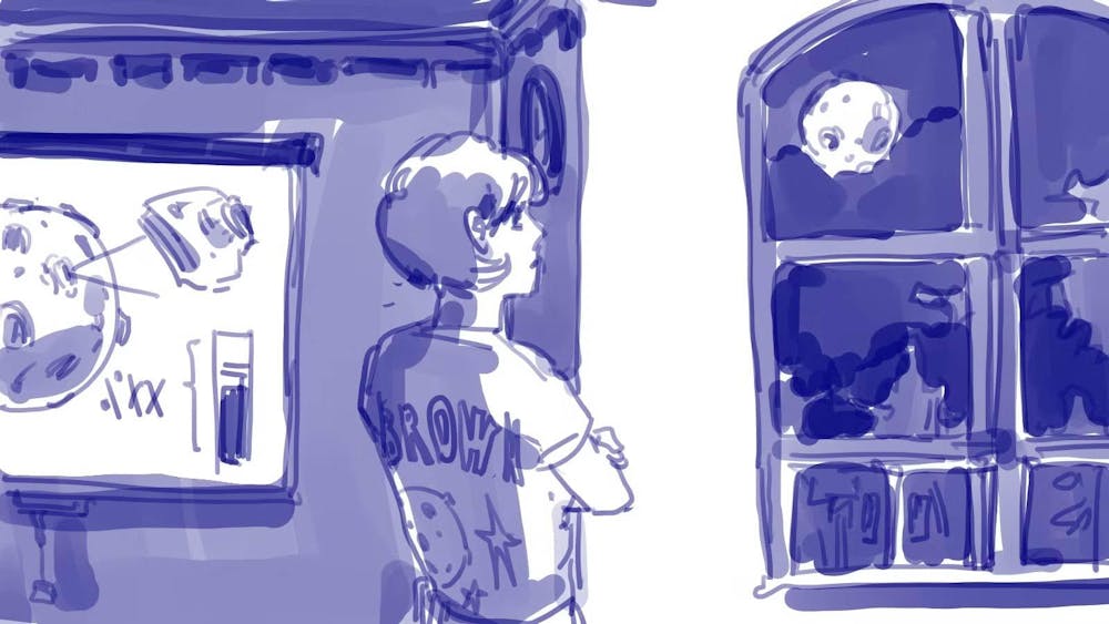
Over 50 years ago, NASA put a man on the moon — and now they want to do it again. But to ensure the safety of their crew, they will need a better understanding of its topography. A new collaboration between a Brown professor and an alum might just be the missing piece.
A paper published earlier this year by Benjamin Boatwright PhD’22 and James Head PhD’69, a professor of earth, environmental and planetary sciences, proposes new refinement to current imagining technologies using a method they call “shape-from-shading.”
Current mapping methods of the moon’s topography require scientists to make complex calculations based on photos of the moon’s surface from two open-source tools, observing, for example, the angle at which the photo is taken and the distance of the camera from the surface. But these technologies provide images in very low resolution and do not work well in areas with low contrast or shadows.
The new technique takes several images of an area of the moon’s surface, superimposing them onto one another and using an algorithm to calculate the slope of certain areas based on the way the different images are illuminated.
“Based on the tilt of the surface toward the sun and the direction you’re taking the picture from, there’s a certain amount of brightness,” Head explained in an interview with The Herald. “And these illumination geometries give us better-precision topography.”
This quality of resolution is key to selecting the safest areas for exploration, the researchers say. Currently, their focus is the South Polar region of the moon.
“You’re basically interpreting height from shadows,” Boatwright said. “And that can actually give you a really high-resolution view of the topography that matches the resolution of the images, which are typically a lot more detailed than, say, those of global topography models.”
To ensure a higher resolution, the new method looks at smaller areas of the moon’s surface. “There’s always going to be a trade-off between resolution and the amount of surface you’re able to look at, because typically, the bigger the area, the lower the resolution.”
While pre-existing topography models render larger surface areas, they have also been typically used for different purposes, such as “regional characterization of something like the geology of the ages,” Boatwright said. “But if you need a spacecraft to be able to land in and navigate a safe place, then you really need something that’s able to resolve individual boulders and hazards on the surface.”
“The better the resolution, the better the idea of the topography,” Head said. “And that’s really critical in planning a robotic landing. It’s even more critical when you want to do traverses and go driving over the surface.”
The researchers are already pushing their methods further, considering how it could be incorporated into Virtual Reality technology.
“VR has many potential applications for educational purposes and public outreach,” Boatwright said. “I’d like to have these really, really high-resolution topography models in VR so that people can essentially go in, and it’ll be like they’re standing there on the moon” which could be game-changing for astronaut training or geological studies of the moon, he added.
Head is also involved in another project which will be a part of Artemis, an exploratory robot mission spearheaded by NASA. The Dating an Irregular Mare Patch with a Lunar Explorer — or the DIMPLE experiment — will collect information on a mound first discovered during the Apollo 15 mission. The experiment “can provide insights into both the Moon’s volcanic history and the history of the entire solar system,” Head said in a press release.
Eleanor Buchanan ’25, an undergraduate collaborator on the DIMPLE experiment, explained in an email to The Herald how both projects compliment each other. “The exact route that these robots would (travel on the moon) is still undecided — thus the usefulness of an accurate 3D rendering,” she wrote. “Being able to map out these lunar traverses ahead of time is important to NASA; the more easily we can model a site, the better prepared robots — and potentially astronauts, eventually — will be to do geology there.”
Boatwright also highlighted the importance of open-source science, saying he was “making sure that all of the datasets and all of the code that I used is publicly available, and that people can reproduce what I did.”
“Science is meant to be collaborative. It’s meant to be open,” he added. “You’re supposed to build upon what other people have done before you.”
Liliana Cunha is a staff writer covering Science and Research. She is a sophomore from Pennsylvania concentrating in Cognitive Neuroscience. In her free time, she loves to play music and learn new instruments.


